by Sarah Marshall Pragg | Jul 1, 2016 | News, Toolbox
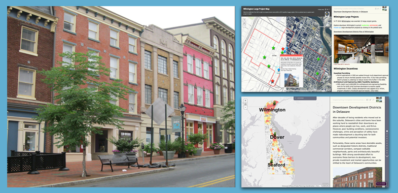
On June 27, Governor Jack Markell and the Delaware State Housing Authority announced that Wilmington, Dover, and Seaford will receive $4.5 million in grant funding for 11 downtown revitalization projects at part of Delaware’s Downtown Development Districts...
by Sarah Marshall Pragg | May 20, 2016 | News, Toolbox
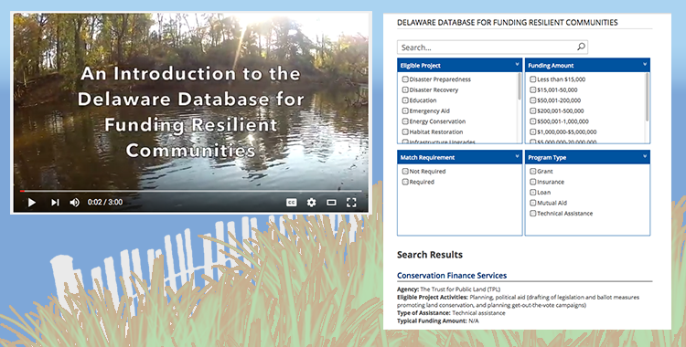
The Institute for Public Administration (IPA) at the University of Delaware, with support from Delaware Coastal Programs, conducted an extensive search of financial assistance programs that support the implementation of resiliency-building plans and projects in...
by Sarah Marshall Pragg | Feb 12, 2016 | News, Toolbox
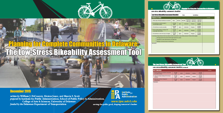
Use the newly developed Low-Stress Bicycling Assessment Tool to find out! Planning for Complete Communities in Delaware: The Low-Stress Bikeability Assessment Tool is a resource for Delaware local governments that are considering ways to improve the low-stress...
by Sarah Marshall Pragg | Feb 2, 2016 | News, Toolbox
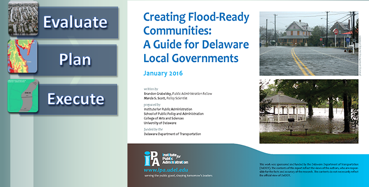
Delaware Local Government Planning Framework: Flood-Ready Communities Resilient communities leverage the strengths and capacities of individuals, families, businesses, schools, and hospitals to “bounce back” after flood events, rather than merely react to impacts. The...

by Sarah Marshall Pragg | Jan 19, 2016 | News, Toolbox
The Delaware Complete Communities Planning Toolbox is growing! If you’re not sure where to start, watch these two videos for an overview of Complete Communities planning approaches and how to navigate the toolbox. Introduction to the Complete Communities...
by Sarah Marshall Pragg | Nov 9, 2015 | News, Toolbox
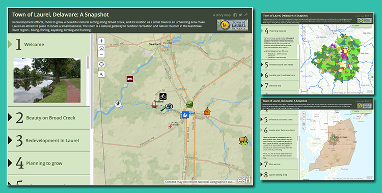
This GIS Story Map was developed for the Town of Laurel to highlight its outstanding redevelopment potential, location for small businesses, and quality of life. The GIS Story Map offers a variety of demographic and marketing data, points of interest, marketing...


